 APEX UAV
Drone photos for land, acreage and farms
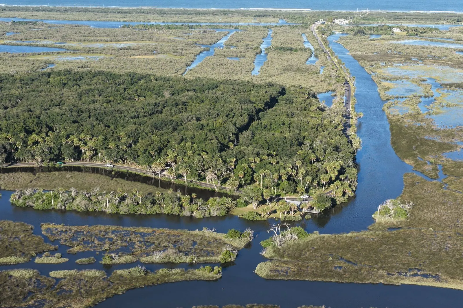
Ground photos can't show a whole parcel. From the air, buyers see the road frontage, the water, the tree line and how the land lays. Growers get crop health maps that show which areas are stressed.
What you get
The whole parcel
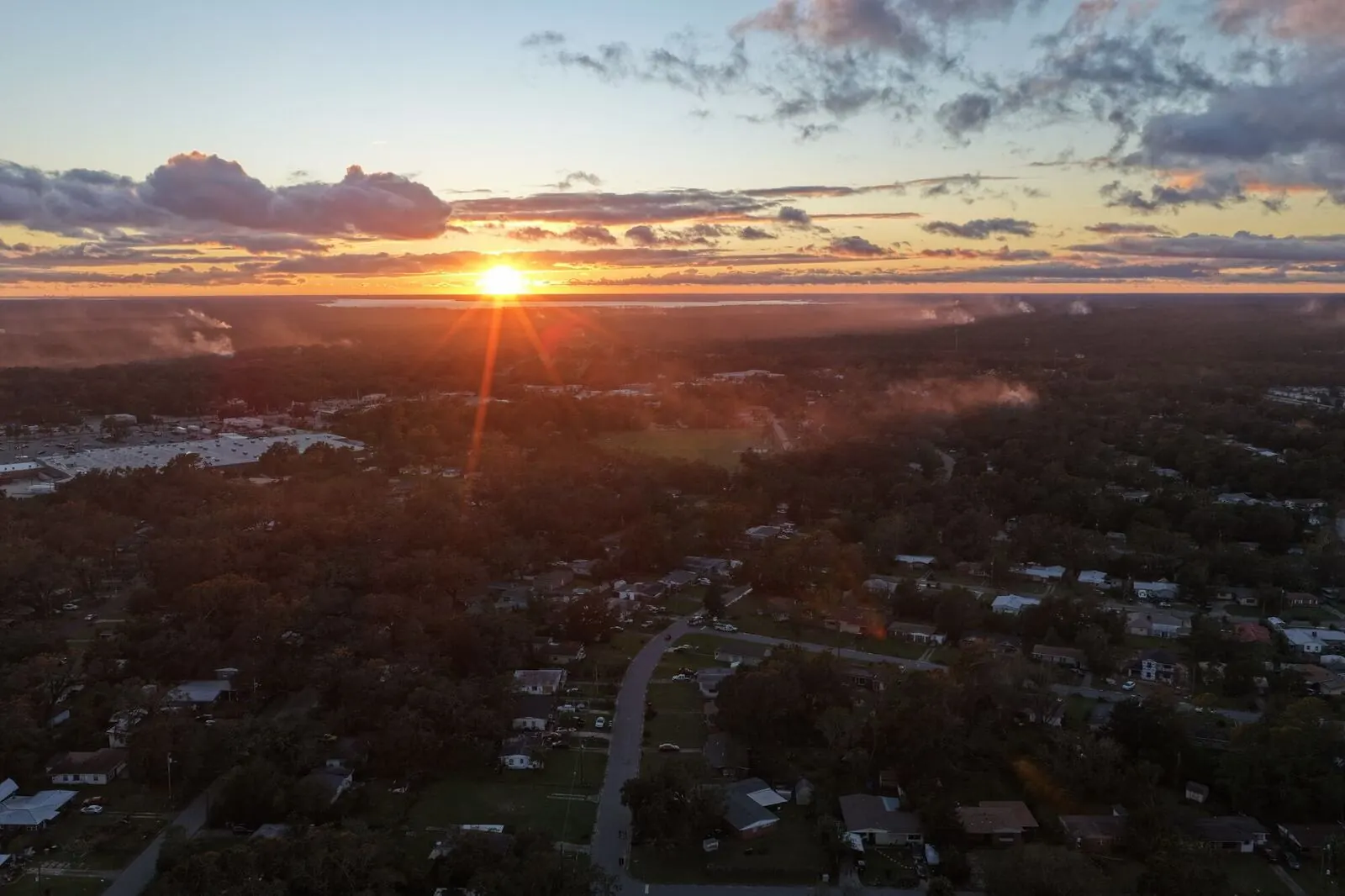
Aerial photos and video of the land, the frontage and what's around it.
Approximate property lines
Lines drawn on the photos so buyers can see roughly where the land starts and stops.
Crop health maps
Flown with a multispectral camera to show stressed areas of a field.
Overhead maps
An overhead map image of the whole property on larger acreage.
Packages and prices
Land Listing
Up to 20 acres. 10 aerial photos with the approximate property lines drawn on, plus a 60-second video.
Crop Health Map (NDVI)
Up to 50 acres flown with a multispectral camera, showing which areas are stressed. Bigger farms are quoted.
2D Site Map
A sharp, measurable overhead map of up to 10 acres, with a share link you can measure on.
Large Acreage or Ranch
Up to 100 acres. 15 photos, a 2-minute video and an overhead map image of the whole property.
Prices as listed on our booking page in October 2026. Online bookings add a 5% booking fee (at least $5, at most $25), shown before you pay. No travel fees anywhere in the US. Property lines are approximate, not a survey.
How it works
Create your free account and book
Pick a package, add the address and your dates. There's no fee or subscription for the account. You see the full price before you send anything.
Apex confirms your date
We confirm the booking, and you pay a 50% deposit online by card, Apple Pay or Google Pay to hold the date.
Consent and airspace, checked
Before anyone flies, we make sure the property owner has given permission and check the airspace, flight restrictions and weather for your address and date.
The flight
An FAA-licensed, insured pilot flies your job, staying clear of people and off neighbors' property. If weather makes it unsafe, we move it at no charge.
Files in your account
Previews show up in your account. Pay the balance online and the full-size files unlock. Every job has our 30-day reshoot-or-refund guarantee.
Questions
Are the property lines exact?
No. They're approximate, drawn from public parcel information so buyers get a feel for the land. For exact boundaries, a licensed surveyor is needed.
How big a property can you cover?
The Land Listing covers up to 20 acres and Large Acreage or Ranch up to 100. Bigger properties and farms are quoted.
What is a crop health map?
We fly the field with a multispectral camera that sees how plants reflect light. The map shows which areas are healthy and which are stressed, so you know where to look.
Do you charge for travel to rural land?
No. There are no travel fees anywhere in the US.
Do you need the property owner's permission?
Yes. We only fly a property once the owner (or someone with authority over it) has given written permission. If you own it, you agree when you book. Florida law requires this for some drone photos of private property, and we follow the same rule in every state.
What if it's windy or raining?
Safety comes first. If weather makes flying unsafe, we move your shoot to the next open date at no charge. The pilot makes the call on the day.
Are your pilots licensed and insured?
Yes. Every Apex pilot holds an FAA Part 107 Remote Pilot certificate, carries at least $1,000,000 in drone liability insurance that Apex checks, has their ID checked and is approved by Apex personally. Ask us and we'll send proof for your job.
Show buyers the whole property
Book a land listing or a crop health map with a free account. Bigger farms and ranches get a custom quote.