 APEX UAV
Drone inspection photos for roofs, buildings and sites
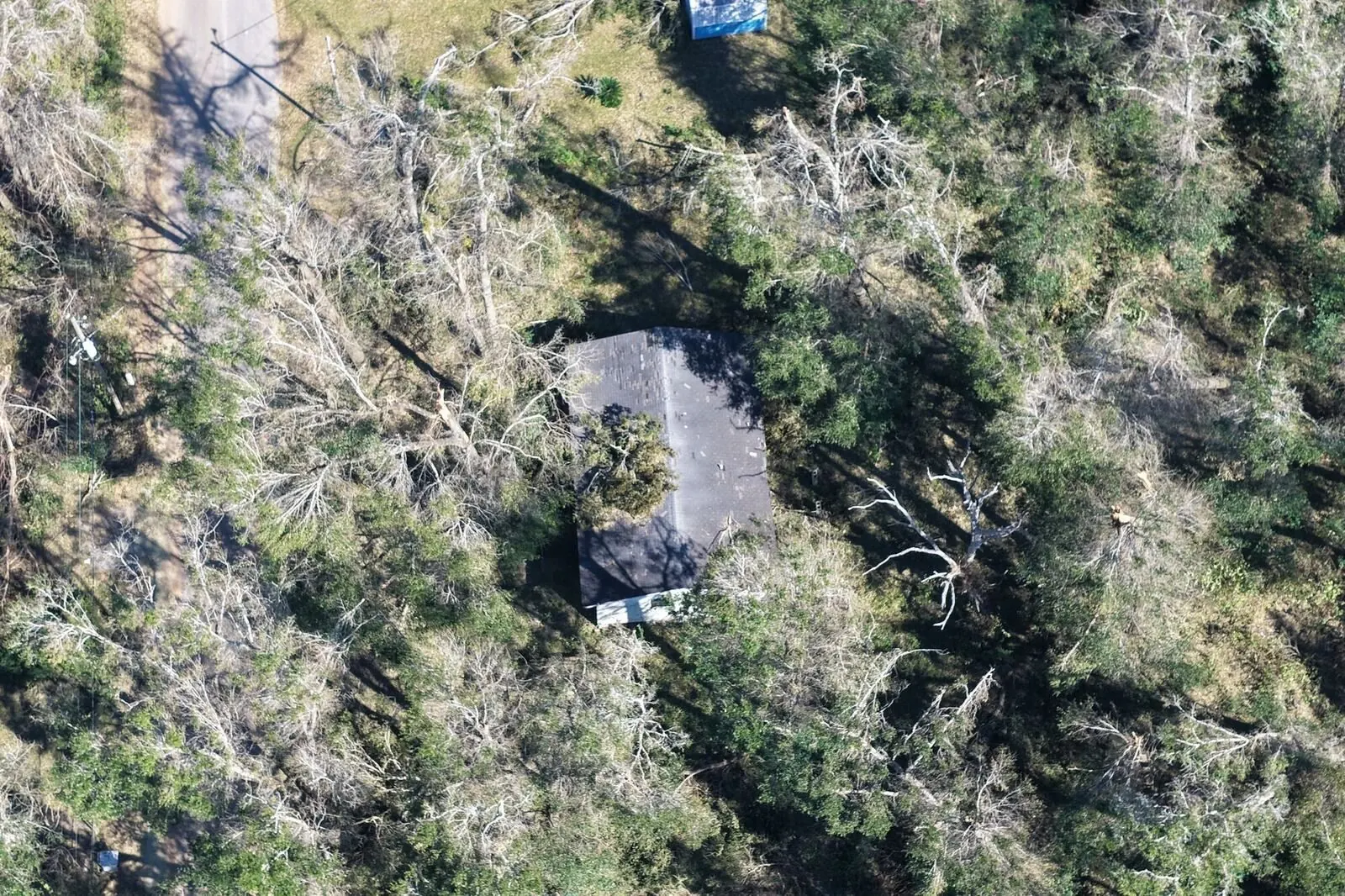
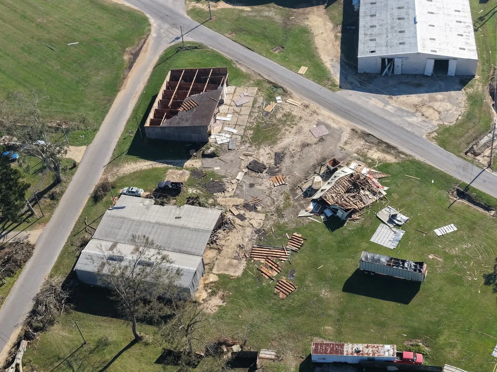
Get eyes on a roof, a building or a whole campus without lifts or ladders. You get clear, organized photos, video and overhead maps your inspector, roofer or maintenance team can use. Imagery only: we're not licensed inspectors and don't give opinions on condition.
What you get
Roofs and building exteriors
Close-ups of roofs, siding, gutters and hard-to-reach areas.
Large sites and campuses
Several buildings or a big lot, with an overhead site map.
3D models
Spin and measure a building or a site up to 5 acres.
Organized files
Photos labeled by area, saved in your account and easy to share.
Packages and prices
Roof Photo Set
Detailed roof photos from every side, organized and labeled by area.
Full Property Photo Set
Roof, siding, gutters, grounds and an overhead site photo.
3D Model
A 3D model of a building or a site up to 5 acres that you can spin, measure and share.
Large Site or Campus
Several buildings or a big lot: 25 aerial photos, a 2-minute video and an overhead site map.
Prices as listed on our booking page in October 2026. Online bookings add a 5% booking fee (at least $5, at most $25), shown before you pay. No travel fees anywhere in the US. Thermal roof moisture scans and solar panel checks are coming soon, once a certified thermographer with a thermal drone joins our network.
How it works
Create your free account and book
Pick a package, add the address and your dates. There's no fee or subscription for the account. You see the full price before you send anything.
Apex confirms your date
We confirm the booking, and you pay a 50% deposit online by card, Apple Pay or Google Pay to hold the date.
Consent and airspace, checked
Before anyone flies, we make sure the property owner has given permission and check the airspace, flight restrictions and weather for your address and date.
The flight
An FAA-licensed, insured pilot flies your job, staying clear of people and off neighbors' property. If weather makes it unsafe, we move it at no charge.
Files in your account
Previews show up in your account. Pay the balance online and the full-size files unlock. Every job has our 30-day reshoot-or-refund guarantee.
Questions
Is this a licensed inspection?
No. We provide imagery only: photos, video, maps and models. A licensed inspector, engineer, roofer or adjuster can use them to make their assessment.
Can you do thermal or solar inspections?
Not yet. Thermal roof moisture scans and solar panel checks are coming soon. Contact us and we'll tell you when they're available.
We manage many properties. Can we set up regular visits?
Yes. See Apex for Business for regular work and volume pricing, with every property's files in one account.
How fast will I get the files?
Photos usually arrive within 24 hours, never more than 48. Video and maps take a little longer, and each package shows its delivery time before you book.
Do you need the property owner's permission?
Yes. We only fly a property once the owner (or someone with authority over it) has given written permission. If you own it, you agree when you book. Florida law requires this for some drone photos of private property, and we follow the same rule in every state.
What if it's windy or raining?
Safety comes first. If weather makes flying unsafe, we move your shoot to the next open date at no charge. The pilot makes the call on the day.
Are your pilots licensed and insured?
Yes. Every Apex pilot holds an FAA Part 107 Remote Pilot certificate, carries at least $1,000,000 in drone liability insurance that Apex checks, has their ID checked and is approved by Apex personally. Ask us and we'll send proof for your job.
Get eyes on your property
Book a photo set or a large-site package with a free account, or ask for a custom quote for regular visits.